What DroneDev Is#
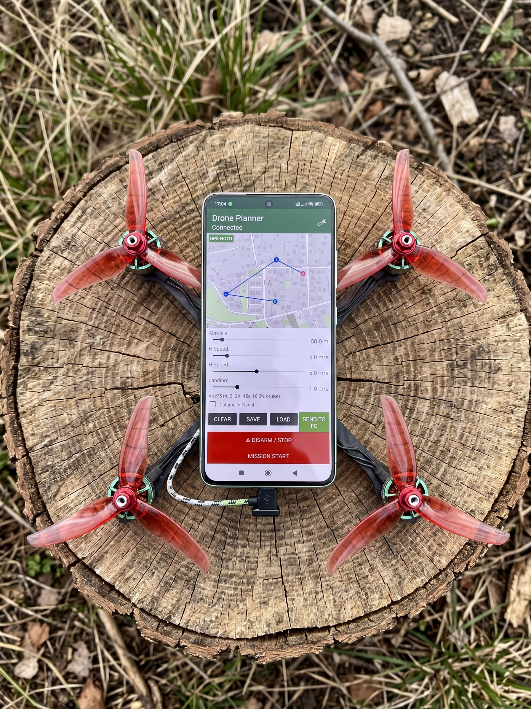
DroneDev is an Android companion computer application that transforms commercial drone platforms into autonomous mission systems. It connects to INAV and ArduPilot flight controllers over USB-OTG and replaces GPS-dependent navigation with phone-side sensor fusion, on-device AI detection, and visual-inertial odometry.
This isn’t a hobby project. It’s built for operators who need reliability when GPS is denied, connectivity is unavailable, and failure isn’t an option.
The Architecture#
DroneDev is designed around three non-negotiable principles:
Zero Cloud. Every computation — sensor fusion, neural network inference, navigation — runs on the phone. No data leaves the device. No internet connection required. This means DroneDev works in RF-denied environments where cloud-dependent solutions fail.
Zero GPS Dependency. Dead reckoning via phone-side sensor fusion, visual-inertial odometry, and visual homing via YOLOv8s — a deep convolutional neural network that automatically locks onto horizon landmarks to maintain azimuth, compensating for wind drift without user input.
Zero Compromise on Autonomy. The phone isn’t a telemetry display — it’s an active flight computer generating flight commands through advanced control algorithms. The flight controller receives position, velocity, and attitude commands it can execute directly.
MVP Status#
DroneDev is a working minimum viable product tested on real hardware:
| Component | Specification |
|---|---|
| Phone | Modern Android device, Android 14+ |
| Flight Controller | INAV 7+ / ArduPilot 4.x+ compatible |
| Firmware | INAV 7+ / ArduPilot 4.x+ |
| Protocol | MSP v2 / MAVLink v2 |
| Connection | USB-OTG cable, direct UART |
| AI Engine | On-device neural network inference via TFLite |
| VIO | High-speed visual-inertial pipeline |
The system has demonstrated dead reckoning navigation through intentional GPS dropout, YOLOv8s detection of personnel and vehicles at operational altitudes, and visual homing maintaining azimuth lock with wind drift compensation.
Who It’s Built For#
DroneDev is designed for organizations operating in contested or denied environments:
- Defense & Special Forces — GPS-denied navigation for tactical ISR platforms
- Border Security — Autonomous patrol missions with AI-based detection
- Critical Infrastructure Protection — Perimeter surveillance with search patterns
- Search & Rescue — Systematic area coverage with visual target identification
- Industrial Inspection — GPS-free navigation in urban canyons and indoor facilities
The Mission#
Modern flight controllers are powerful but limited by embedded hardware constraints. A smartphone carries orders of magnitude more compute — CPU, GPU, NPU, sensors, and AI accelerators. DroneDev bridges this gap without replacing existing flight stacks.
The phone is the upgrade. Plug it in. Launch the app. Fly with capabilities your flight controller alone can’t deliver.
Evaluate DroneDev for Your Operation
We're actively seeking demonstration partners. See dead reckoning, AI detection, and visual homing in your operational environment.
Request Demonstration →